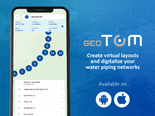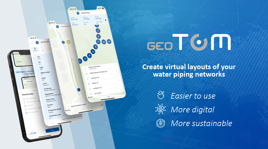
The application developed by Molecor allows the creation of complete virtual layouts with the data of each of the pieces of a pipeline network. Download geoTOM® on IOS or Android to digitalize your water pipeline projects and facilitate their maintenance.
Begin by creating a virtual map that precisely positions each component, and share it with other project members. This project information is accessible anytime, anywhere, supporting everyone from developers to installers. This facilitates the flow of information, accelerates maintenance work, increases network efficiency, optimizes preservation costs, and reduces environmental impact.
The application utilizes geopositioning technology to record the exact location of each installed pipe and fitting. This data is used to create a virtual layout, displaying the entire water network via satellite view and enabling the selection of individual elements. Users can access detailed information such as the dimensions of each piece, the place and date of manufacture, and more. Additionally, the data can be enhanced with installation photographs and user comments.
The application is suitable for components of any manufacturer and material, but also has special compatibility with PVC-O TOM® pipes and ecoFITTOM® fittings. All the products in these ranges include a code with their information, which can be scanned using the phone's camera and is obtained from the M.E.S. (Manufacturing Execution System) process monitoring system with 4.0 connectivity for complete and immediate traceability without the need to add the data manually.
Innovation is one of the most important values of Molecor's identity and drives the company to create and adapt new ideas to reimagine the water piping sector. This has made it possible to develop more efficient, sustainable and durable pipes and fittings or to offer digital tools that facilitate installation and maintenance.
You can download the application by scanning the following code:


